Topography means geography or landscape. Topographical surveys are the surveys that are carried out for certain piece or area of land for some specific purpose. These surveys are used to recognise and plan the outline of the given landscape for certain specific tasks. Also, the existing features on the surface of the given land are taken into consideration while carrying out such surveys. Even the features or things that are somewhat above or below the given area of land are considered while carrying out topographic surveys. These features may include buildings, manholes, retaining walls, trees, poles or buildings etc.
Here are some important points to know about such surveys that may help you to great extent in different ways:
- Purpose- Topographical surveys are carried out for a variety of reasons and purposes. These may include outlining or planning for some construction site or serve the purpose of base map for designing of residential or any other types of buildings in the given area. Even these surveys may help in the planning and designing of some roads, driveways of buildings and so on.
- Type- These surveys may be carried out at a personal level by the homeowners, building owners or other types of property owners. Sometimes, topographical surveys are carried out by the state governments or national governments for outlining and designing of roads or other government buildings in the specific areas. Also, these surveys may be used in residential, commercial or construction levels.
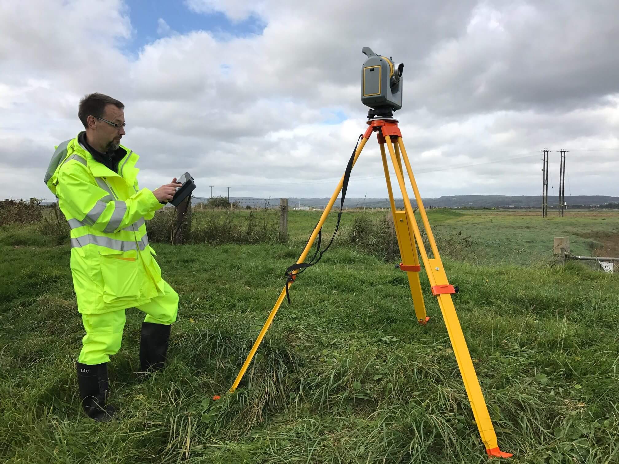
- Technologies used- To carry out these surveys, the respective topographic surveyor have to use certain technologies such as GPS and EDM. These technologies help in tracking, tracing and recording various routes, features etc. for the given space in a quick and effortless manner. All such things are exhibited on the topographical maps using outlines to represent certain changes over the given time period.
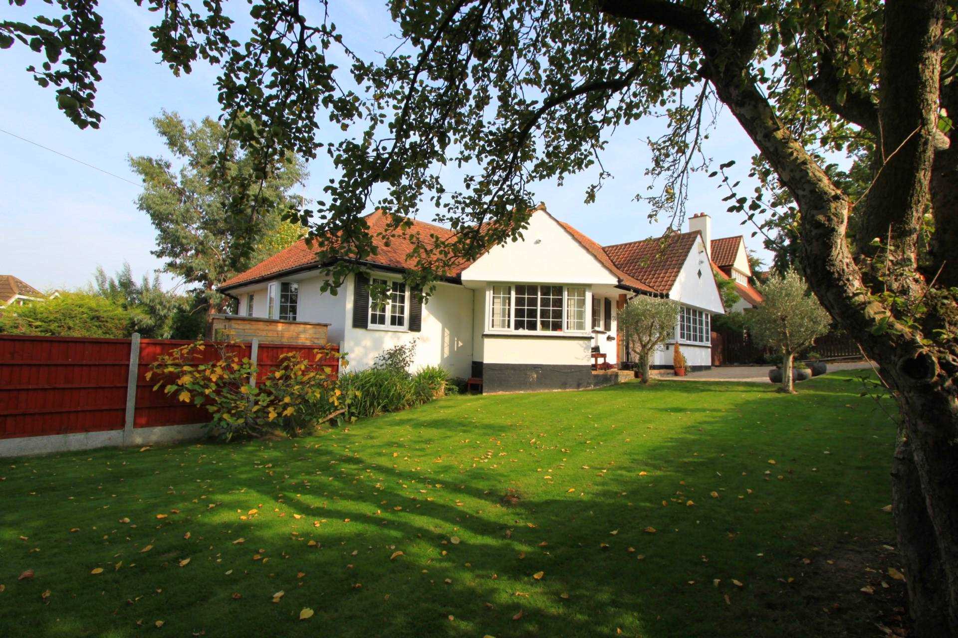
- Uses- The surveys carried out for topography are used by homeowners, business owners or other property owners for expansion or renovation of their respective properties. It is because knowing about various features and specifications for the given area, the property owners may plan their renovation or expansion plans in a better manner. It is vital to carry out any types of construction or modifications in the given construction building. You can get a clear cut picture and idea about the given land as well as space and other features around it through these surveys. Planning, designing, and development of various routes, roads, and other public buildings, public parks or such other buildings are all done with the help of topographic surveyor only.
- Additional benefits- In addition to above mentioned uses and benefits, topographical surveys also help in keeping record of historical data, maps and documents for certain types of properties. It helps in managing the given piece of land in a better manner while keeping in mind the historical importance of the same.
This was all about topographical surveys and some important facts related to the same. Such surveys are carried out from time to time as these are an integral part of the structural development of any place.